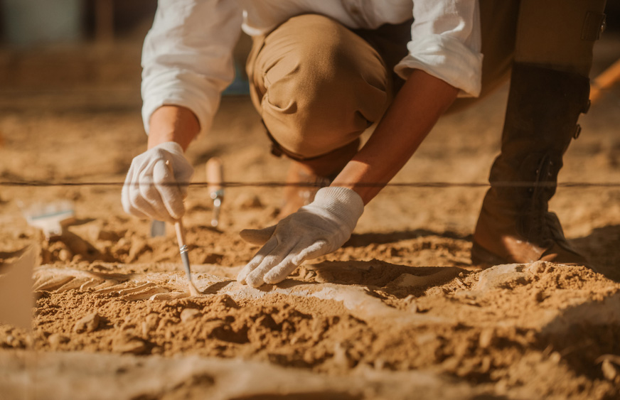
Archeology
Strategic Infra Services has undertaken many government projects.
Strategic Infra Services offer a range of geophysical techniques which form the core business. Strategic Infra Services will help you decide the best approach to archaeological prospecting and investigation. Strategic Infra Services believes in personal involvement with the clients´ job from the brief to the final report. We also offer digital terrain modeling, topographic survey and field walking which may be used in conjunction with geophysics or alone to provide detailed assessment of archaeological sites and monuments.
The techniques used by Strategic Infra Services are mentioned in detailed:
Magnetometry
Detailed magnet survey known as Magnetometry is an effective and efficient geophysical survey technique. It is used to define areas of past human activity by mapping spatial variations and contrasts in the magnetic properties of soil, subsoil and bedrock. The technique can be carried out over areas of grass, crop and open soil.
Digital Terrain Modeling
Also known as Digital Elevation Modeling allows visualization of the surface of monuments and archeological features. By accurately measuring the land surfaces using GPS or a total station, detail can be expressed as a digital image or as contours. Strategic Infra Services will enhance surveys using hachures and lines and polygons to highlight features of archaeological interest.
Topography Survey
These are carried out using total station and GPS equipments in order to create accurate maps of archeological sites and monuments. These can be combined with Digital Terrain Models (DTM´s) to allow contour plots and hachure plans to be produced in GIS software.
Resistivity
Resistivity survey can be particularly useful for locating structural remains associated with building footings. In addition, the technique can locate former ditches and pits. Surveys are possible over grass, crop and open soil.
Field walking
Systematic collection or mapping of artifacts from the ground surface provides useful evidence for past human settlement and activity.
Get in touch